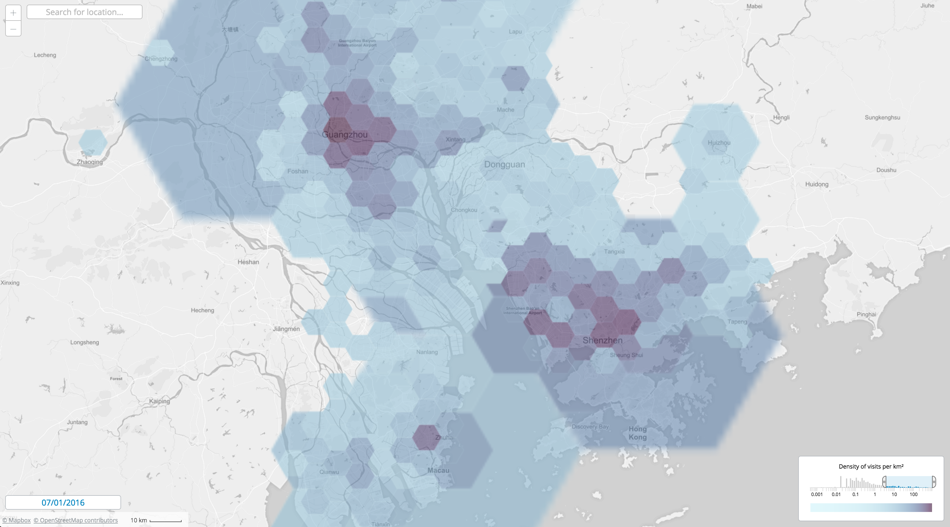
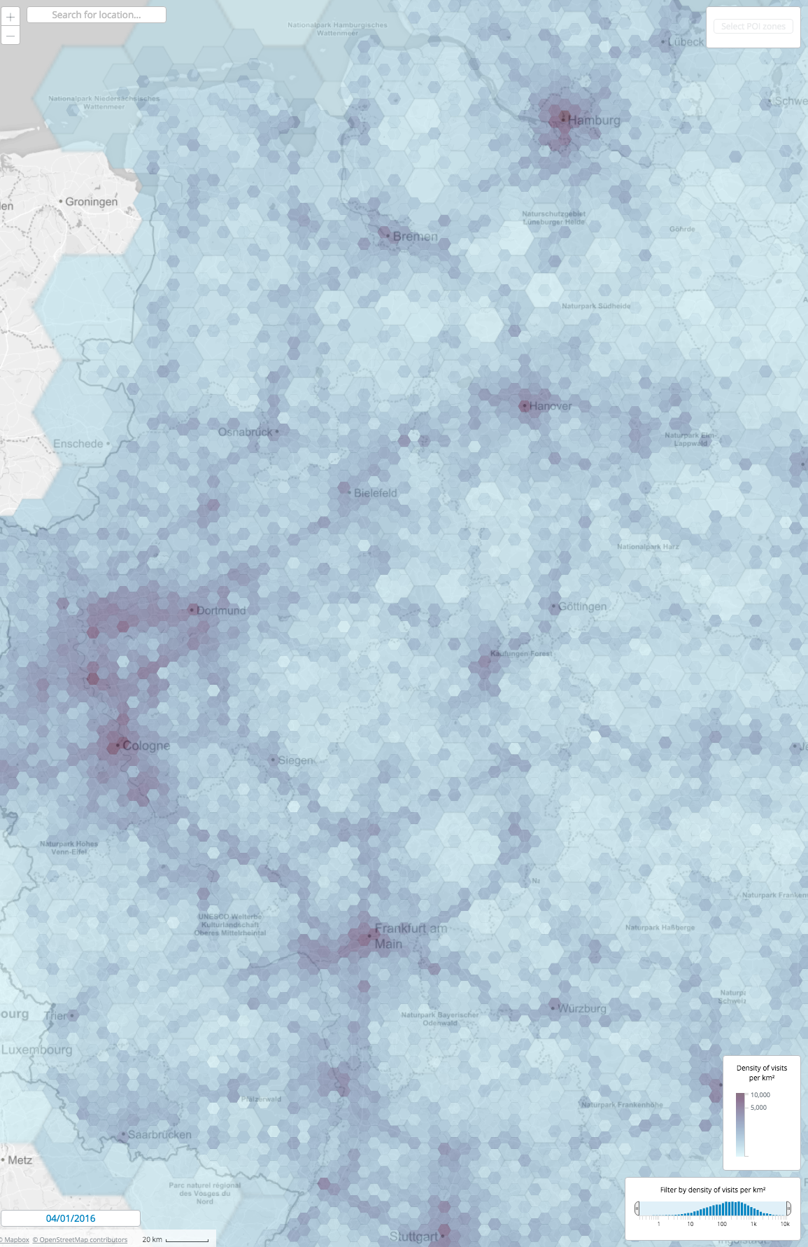
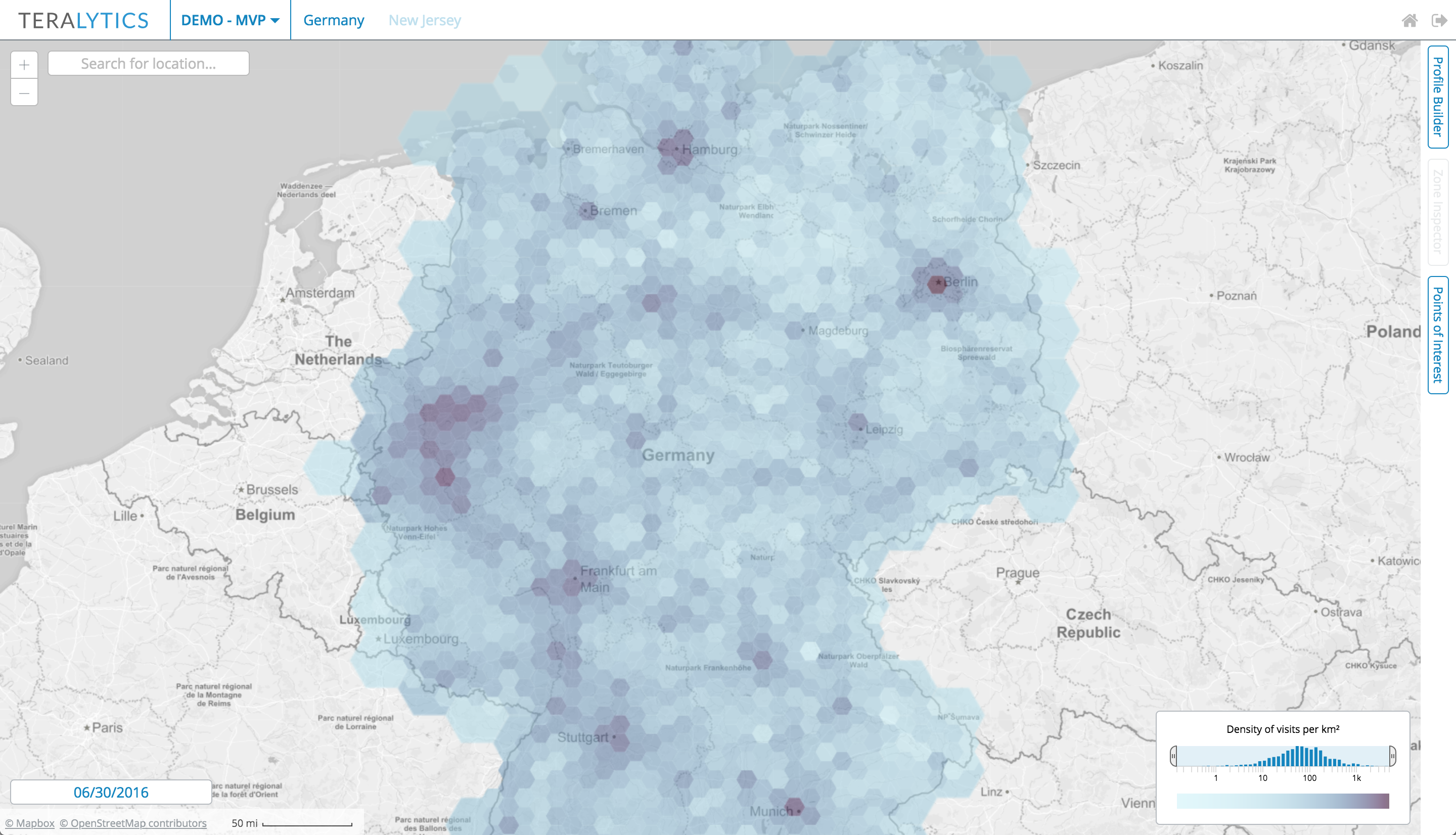
Hex density map
2015
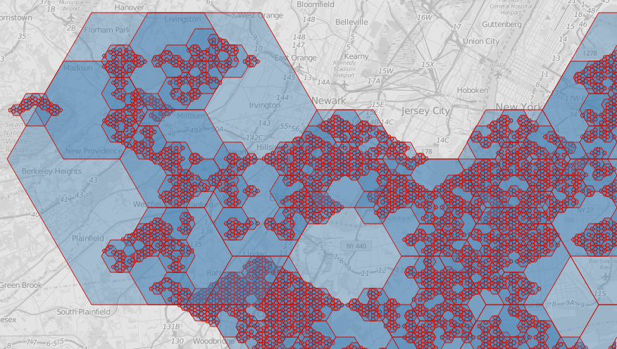
A zoom-adaptive hexagon overlay for representing density heat maps with a self-developed slippy map engine. Here we also used our hierarchical hexagonal system based on Geohex for geospatial indexing:
Here are Geohex hexagons on several levels:
Each hexagon has a unique code. We can reconstruct the geometry of a hexagon from its code. Smaller hexagons within the larger ones have codes prefixed by the codes of their "parent" hexagons. The nesting is not perfect, though.
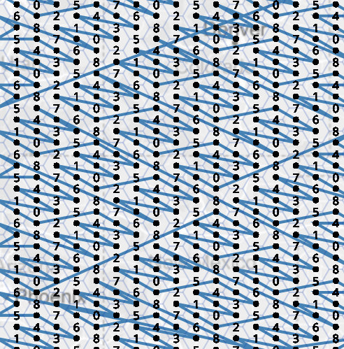
Z-curve for the hex codes: